Figure 5.2 - Island Multipurpose Point - 6 Hectare Rain Forest Island - Strategic Stop-Over Base (No Potable Water)
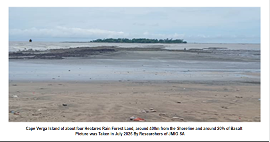
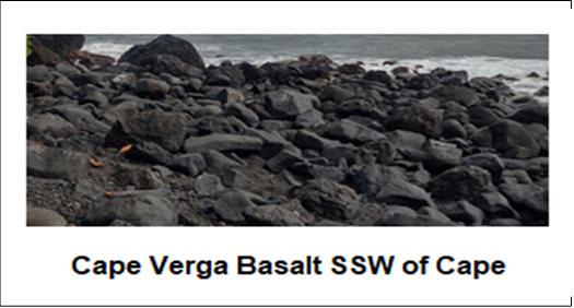
Location: 500m offshore / 3,500m from main port (4,000m offshore until FS confirms) Size: ~6 Hectares Rain Forest Island with mangrove fringe Water Status: NO potable water - Natural well is saline (saltwater intrusion) - Confirmed by field test
Critical Constraints & Design Response:
Water Challenge:
- Test well dug on island: Salty / brackish - not drinkable - TDS > 15,000 mg/L
- No freshwater aquifer - island is rain-fed forest only
- Implication: Zero reliance on groundwater for construction or operations
Engineered Solution (Included in CAPEX):
- Construction Phase: BOREHOLE WATER Onshore mainland Base Area (5km) - €35K/month logistics
- Operational Phase:
- 10m³/day containerized desalination (RO) + solar powered - €85K CAPEX
- 200m³ rainwater harvesting from rooftops + storage tanks
- Potable water loop from mainland via causeway pipe (500m) - €120K
Distance & ESG Design (Until FS):
- Shore (0m) -> Rain Forest Island (500m, no water, preserve 4ha) -> Main Port (4,000m offshore)
- Use only 2ha of 6ha - selective clearing at degraded edge
- 4ha forest preserved as biodiversity offset + Blue Carbon (120 tCO2e/year)
Function as Stop-Over Hub:
- Toll & Safety Refuge: On stilts, 0.5ha footprint, with desalination plant
- Fisheries Point: 500 tons/day landing needs ice - ice made with desalinated water
- Fuel Station: With spill containment, no groundwater contamination risk (already salty)
Investor Note - Risk Disclosed: 6ha rain forest island at 500m offshore has no potable water - well test confirms saline intrusion. This is common for coastal islands in Guinea. Mitigation: €85K solar RO + rainwater + 500m pipe from mainland included in Section Seven Financials. Preserving 4ha forest reduces water demand. Main port at 4,000m offshore will have own 50m³/day desalination. FS will include full hydrogeological survey to confirm no freshwater lens. Until FS, base case = zero freshwater on island.