INFRASTRUCTURE DESIGNS AND DEVELOPMENT WITH PPP EXCLUSIVITY
Section I. 1. Road Access Way
Figure 7.1 - Highway Junction To Proposed Port Asset
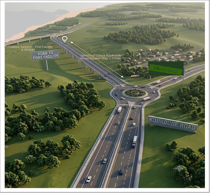
Conceptual Layout Alignment: The proposed multi-modal integration couples a multi-lane coastal arterial corridor with a multi-tiered roundabout junction, ensuring optimized traffic flow distribution toward the terminal access zones.
Figure 7.2 - Port Asset Modelled Small Island Sub Base And Main Port Facility 4000m Offshore
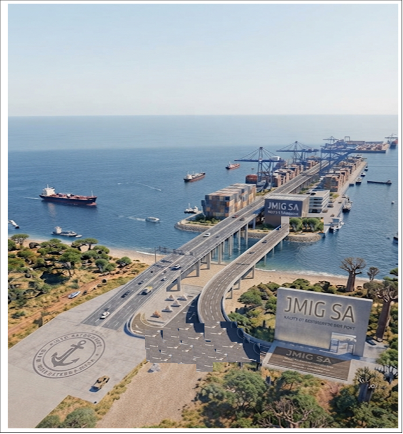
Marine Infrastructure Architecture: The aerial-isometric rendering depicts a comprehensive 4,000-meter offshore port facility layout featuring a modeled artificial small-island sub-base connected to the mainland via an extended trestle bridge and pier structure.
Terminal Connectivity: The civil engineering schematic highlights the integration of heavy-haul industrial transit paths with deep-water maritime berthing zones, emphasizing load-bearing trestle configurations designed to withstand severe littoral wave action and coastal dynamics.